Italian Ministry of Infrastructure and Transport
Nisida island, Naples
Making the slopes of an island safe
Geological documents built into the design, under direct appointment by the Ministry.
Specialist servicesTailored solutions for a sustainable future.
Eight areas of expertise under one roof: from subsurface investigation to energy plants, all the way to on-site support.
ISO 9001 quality management
+250
Projects delivered
Professionalism, reliability and experience, together with constant updating of our methods and approaches, allow us to tackle highly complex geological, environmental and engineering problems across more than 250 projects of every kind.
We approach every project in an integrated way, so that problems are answered systematically and unambiguously.
A selection of the assignments that best show how we work.
Italian Ministry of Infrastructure and Transport
Nisida island, Naples
Geological documents built into the design, under direct appointment by the Ministry.
Specialist servicesDetailed design – railway undergrounding
Andria, Apulia
Subsurface model and geotechnical parameters handed to the design team.
Geology and geotechnicsACEA
Municipalities in Lazio
A single, queryable map base, delivered to the water utility.
Surveying and geomaticsWind Tre S.p.A.
Municipalities in Tuscany
Applications completed with the documents the authorities required.
Specialist services
We work as technical consultants and design support with the leading design firms for ground-mounted solar plants, producing every document needed to obtain the Italian AUA environmental authorisation.
Partners on solar PV plants
01/05
You tell us about the project: we review requirements, constraints and the documents available.
We define the site and laboratory investigations best suited to the works and the regulations.
We run in-situ, geophysical and laboratory tests with our own instruments.
We turn the data into geological, geotechnical and hydraulic models to NTC 2018.
We deliver clear reports and drawings for every design stage.
Drag the probe down the column and see what we find at each depth, and with which investigations. This is the typical stratigraphy of the Bari area: every site has its own.
Coastal sands and silts, cemented in places. This is the band where most shallow foundations bear.
This is where you measure the parameters that govern bearing capacity and settlement: the layer that decides the type of foundation.
What we do at this depth
Tests, samples and instruments, shown by the people who use them every day.
We use advanced instrumentation to guarantee the detailed analyses that give us a complete characterisation of the subsurface.

96-channel, 24-bit seismograph for refraction and reflection seismics, MASW, Down-Hole and HVSR.

96-channel resistivity meter for 2D and 3D electrical tomography, induced polarisation and self-potential.

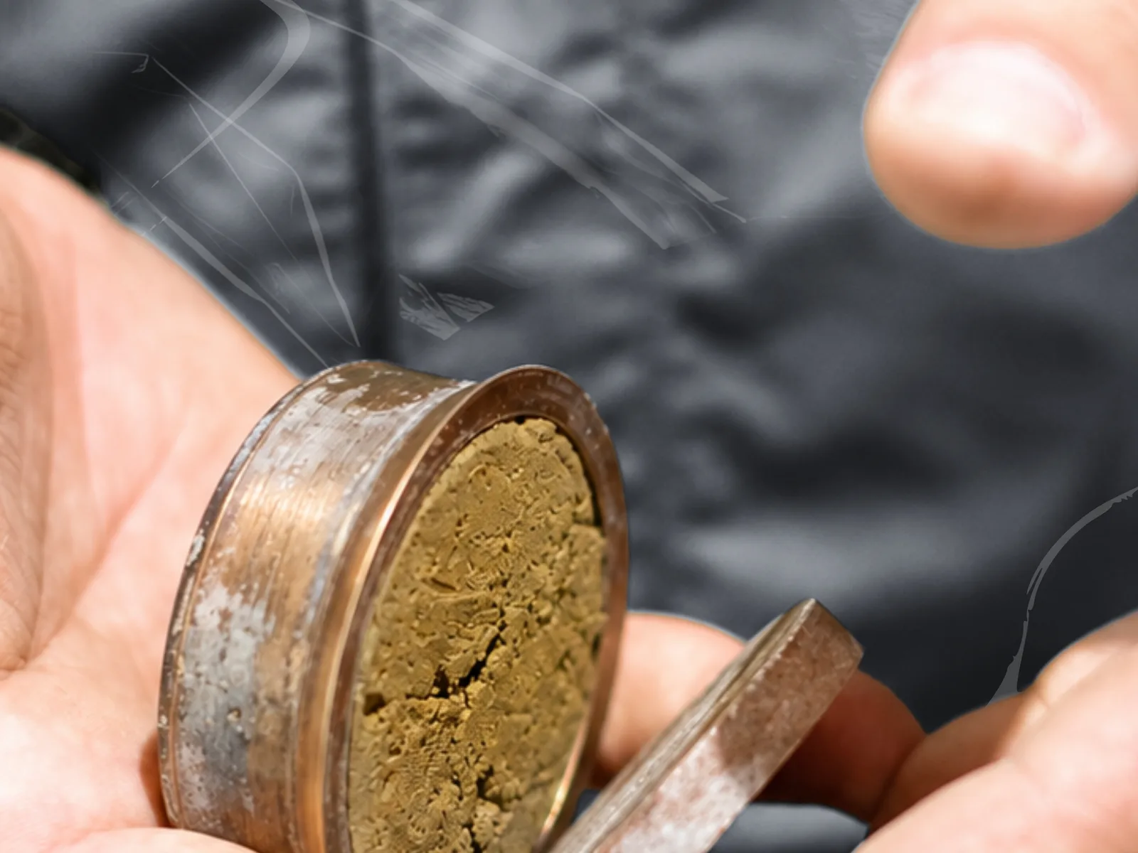
Measures the resonant frequency of concrete and stone to derive elastic modulus and freeze-thaw damage.

Measures soil thermal conductivity, useful before laying buried cables or drilling geothermal wells.

Compact penetrometer for static and dynamic tests, easy to transport and operable by one person.
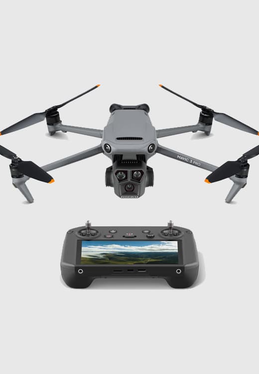
Mapping drone with a 20 MP 4/3 sensor and mechanical shutter, no ground control points needed.

Drone with a 640×512 infrared thermal camera and laser rangefinder, for inspections and thermal surveys.

Compact FPV drone with 4K 60 fps video, for visual inspections in hard-to-reach spaces.

Drone LiDAR sensor: high-precision 3D point clouds, even beneath vegetation.

Rugged ground-penetrating radar built for the harshest conditions and suited to every soil type.

Compact radar for locating buried cables and pipes, with up to 60% greater investigation depth.

Handheld SLAM LiDAR scanner: 3D point clouds even without light or GPS.

GNSS antenna with rugged tablet and the Zeno Mobile app for precise GIS data collection in the field.

Compact tracked hydraulic drilling rig (780 kg) for SPT, sampling and shallow coring.

Light weight deflectometer for the dynamic deformation modulus Evd: bearing capacity and compaction quality.

In-situ CBR test for the bearing index of soils and road embankments, with no laboratory preparation.

In-situ vane test for the undrained shear strength of cohesive soils.

Pocket penetrometer: direct reading of soil compressive strength in kg/cm².

Pile load tests (compression, tension, lateral load) with load–displacement curves.

Rebound hammer for concrete and rock strength, and Barton comb for rock-mass roughness.

Portable pH meter with a conical-tip probe to measure pH and temperature directly in the soil.
Reliability and experience allow us to tackle geological, environmental and engineering problems with a high degree of complexity.
Excellent
Based on 7 reviews

Valentin Sarmasan
Servizio professionale ma con un approccio umano. Sempre disponibili al confronto.

Maria Pia Tarantino
Azienda che si distingue per professionalità e praticità. Laboratorio serio ed organizzato con strumentazione moderna. Un punto di riferimento nel settore della geologia.

Rosa Martucci
Mi hanno dato un supporto concreto e utile, senza complicare inutilmente le cose.

Domenico Calderoni
Ho avuto un’ottima esperienza con Geotechnology 4.0. Il team si è dimostrato estremamente competente, preciso e sempre disponibile al confronto. Il lavoro è stato svolto con grande professionalità e attenzione ai dettagli tecnici. Tempistiche rispettate e comunicazione chiara in ogni fase. Consigliata a chi cerca un supporto affidabile e di alto livello nel settore geologico, geotecnico e geofisico.

Arianna Grimaldi
Ho contattato Geotechnology 4.0 per chiedere un preventivo e sono rimasta davvero sorpresa dalla rapidità e dalla disponibilità. In soli tre giorni dalla richiesta, il team si era già organizzato per andare in cantiere e iniziare le prime verifiche e gli studi necessari

Alessandro Leone
Professionisti preparati ma soprattutto molto pratici. Sanno andare dritti al punto senza perdere tempo. Ho apprezzato soprattutto la loro immediata disponibilità

lavrenti jimsheris asuli
Studio affidabile e ben organizzato. Hanno rispettato tempi e accordi, cosa non scontata ad oggi. Inoltre ho trovato molta disponibilità, gentilezza e professionalità
From our head office in Bari we follow projects across Italy, with a team that travels wherever it is needed.
Sites supervised+250
Costs, timescales, regulations: the answers that usually come up in the first conversation.
Didn’t find yours?
Send us your question: a technician answers, not a call centre.
Ask your questionWe reply within 24 working hours, with a dedicated technical contact.
There is no list price, because the cost depends on three factors: the type of works and the regulations that apply to them, the number and type of investigations required (boreholes, penetration tests, seismic surveys) and the distance of the site from our offices. Tell us about the project and we will send you a detailed quote, item by item, with no commitment.
For a geological report on a standard project it usually takes two to four weeks from appointment, because laboratory tests have technical times that cannot be compressed. If you have a fixed deadline, tell us straight away: we plan the investigations around it and, where needed, share preliminary results early.
Yes. Our head office is in Bari and we work on sites across Italy. Travel to sites outside the South is included in the quote, transparently, along with everything else.
The Italian Building Code (NTC, D.M. 17/01/2018) requires one for any works that transfer loads to the ground: new buildings, extensions, retaining structures, excavations. It is also needed for planning and permitting applications. If you are not sure whether your case qualifies, write to us: we will check before you spend anything.
They are ours and we operate them ourselves: seismographs, a multichannel resistivity meter, penetrometers, ground-penetrating radar, survey drones and an in-house geotechnical laboratory. This shortens timescales, because we do not depend on third parties to schedule investigations, and it also lets us rent the equipment to other professionals.
Yes. We produce the technical documentation for the Italian AUA, VIA and VINCA procedures and support the designer throughout the review process, including requests for further information. For renewable energy plants this is a significant part of the work, from preliminary due diligence through to operation.
In five stages: we review the enquiry and visit the site, define the investigation plan, run in-situ and laboratory tests, process the data into geological and geotechnical models to NTC 2018, and deliver the reports and drawings. You have a single technical contact for the whole assignment.
For both. We work with public clients, engineering firms, EPC contractors and energy developers, but also with private individuals who need to file a building application. The method does not change: what changes is the scale of the works and the number of investigations.
Find out how we can help
Mobile
+39 327 4999574
Tell us about your project and the service you need: one of our managers will get back to you as soon as possible.